
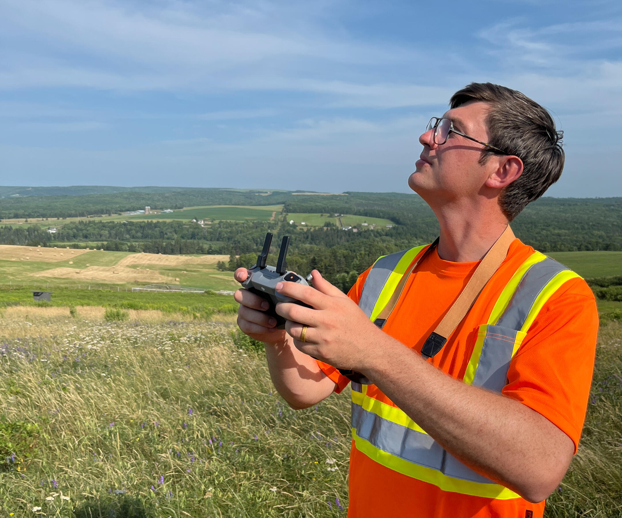
AEGIS
Drone Services Inc.
Providing new perspectives to elevate your vision.
Services
Site Inspection
Gain safe, efficient access to remote or hard-to-reach areas with our aerial site inspections. We capture high-resolution, detailed visuals that support accurate assessments, thorough reporting, and confident decision-making while using non-intrusive, low-impact methods.
Ortho-Mosaic Mapping
We use aerial surveying and photogrammetry to produce high-resolution ortho-mosaic maps. These maps are created by combining multiple aerial photos into one seamless, precise, and geo-referenced image.Unlike regular aerial photos, ortho-mosaic maps show a distortion-free, accurate view of an entire property or site. This makes them ideal for site planning, taking precise measurements, and creating detailed site documentation.
3D Modelling
We create highly accurate 3D models that show a current, detailed, real-world view of your site or structure. You can explore these models interactively or export them directly into CAD software. They allow you to take precise 3D measurements, calculate volumes, and get the clear perspective needed for confident, efficient project planning.Every 3D model also includes an ortho-mosaic map of the site.
Aerial Solutions
Have a project you want to bring to life? We deliver professional 4K aerial video and photography, tailored to meet the specific needs of your project.Whether you are showcasing real estate, producing content for social media, creating compelling visuals to promote your business, or simply looking to gain a fresh perspective on your property, we provide the expertise and tools to capture it beautifully.
Our story
Hi, I’m Matthew Hobden, and I founded AEGIS Drone Services based on a simple truth: drones are the future of land management, site development, and countless other geospatial applications.My own path began long before drones became common in industry. In my early twenties I followed my father and grandfather into the northern Alberta oilfields, spending nearly a decade in pipeline construction with Banister Pipelines. I apprenticed and later operated heavy equipment, logging thousands of hours in an excavator and learning firsthand what precision, safety, and accountability truly mean. Working on large-scale earthworks, access roads, and critical infrastructure taught me the serious nature of critical no fail operations. Massive finical loss or irreparable bodily harm to self or co-worker is only a flick of the wrist away.Wanting to build on this foundation, I completed a Bachelor of Science in Environmental Science in Montreal. That is where I was introduced to Geographic Information Systems (GIS) and discovered the power of geospatial tools to analyze and understand the world with clarity. This training became central to how I now approach drone-based data collection and analysis.After graduating, I moved to Nova Scotia to work in municipal infrastructure, coordinating complex construction projects and integrating drone technology into inspection workflows. I saw how remotely piloted aircraft could transform safety practices, environmental monitoring, surveying, and project management by making operations faster, safer, and more precise.These experiences ultimately led me to establish AEGIS Drone Services Inc. Our mission is to deliver precise, reliable aerial data that supports safer, smarter, and more efficient decision-making. AEGIS operates with full Transport Canada compliance, advanced certifications, robust safety procedures, and comprehensive aviation and commercial liability insurance. Professionalism begins with doing things properly, legally, and transparently.Today, AEGIS provides specialized environmental monitoring, thermographic inspection, infrastructure assessment, insurance documentation, and geospatial analysis. My background in field operations, environmental science, GIS, and infrastructure informs every project we take on.
Contact Us
Don’t hesitate to reach out. All inquiries will receive a response within 48 hours.
Thank You
Thank you for reaching out. You will receive a response in one to two business days.